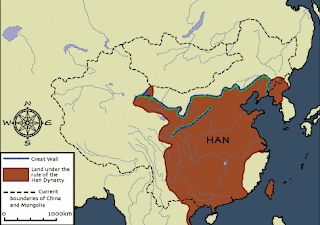
Here is a map of the Han Dynasty in ancient China Yellow Sea . Also, The Great Wall of China ran through the northern part of the Han territory. Nanjing is now where Guangling used to be and Tianjin Chengdu is still where it was and same with Guangzhou China

No comments:
Post a Comment